
 Stories we tell children about a long ago time and place, a verdant, green land with cities and towns that glistened within their limits and only slipped beyond those with the greatest care and caution. Linked by tiny roads and fast rail lines, seen from the air the denser areas were surrounded by neat parcels under cultivation. It all looked so orderly and organized to work properly, if not effectively. Oh, yes, then there was that other meaning of denser:
Giant urban sprawl could pave over thousands of acres of forest and agriculture, connecting Raleigh to Atlanta by 2060, if growth continues at its current pace, according to a newly released research paper from the U.S. Geological Survey.
“We could be looking at a seamless corridor of urban development,” said Adam Terando, a research ecologist with the USGS and an adjunct professor at North Carolina State University who was the study’s lead author.
The development will engulf land from North Carolina to Georgia, and possibly spread to Birmingham, Ala., “if we continue to develop urban areas in the Southeast the way we have for the past 60 years,” he said.
Combining USGS demographic modeling with North Carolina State’s High Performance Computing Services and analyzing the data for six years, Terando and his five co-authors estimated that urbanization in the Southeast will increase by up to 190 percent.
See also, the Myth of Progress for further edification. That orderly view is also available, but you’ll have to make arrangements to take a different route.
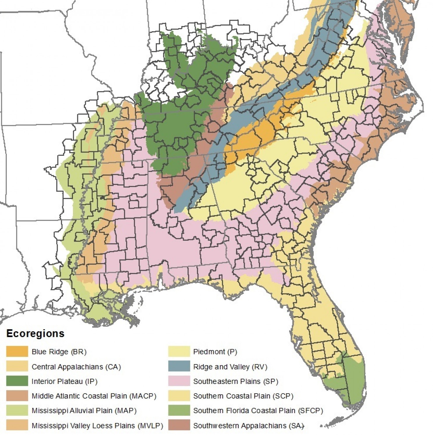
Image: The Southeast U.S. region used in this study. (Terando et. al/PLOS One)